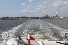
Jacksonville Free dock was an easy turn around and out this morning. We had planned out 3 different anchor spots heading north through Georgia mainly due to the fact that we didn’t know the terrain and how fast we would be able to get along. We did leave Jacksonville as the tide was almost at its lowest. The free dock is on Sister’s Creek. Depths were around 6 feet at low tide and attention to gauges was very important. We did pass several large trawlers with more draft than us going south so they must have had a nerve racking time transiting.
I apologize in advance for this notation in our blog. It will be mostly about traversing this area for the boaters to read. The area is very different than anything we have traveled thus far.
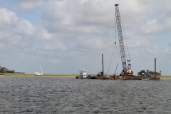
We still see the effects of Hurricane Matthew along the route as this area from St. Augustine to Savannah are the hardest hit by the storm last November.
Heading into the marshlands of north Florida we did see very shallow depths with only about 5 feet under our belly at times. Heading towards Fernandino Beach area on the Amelia River was not a terrible run with a 3.5 foot draft however there were times when we did see less than 7 feet depths on the depth gauge.
Here we left Florida behind and said hello to Georgia.
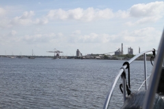
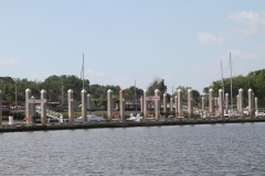
We passed by Cumberland Inlet and the Island which would have been a great stop to see the history on the island. There are still wild horses that live on the island from when the Spanish settlers released them over 200 years ago. No appearances by the horses for us though. Also a Naval Nuclear Submarine base is here. We didn’t ee any Coast Guard Boats or security so the subs must be deployed. The dock for the sub is massive. There is a picture below and to show reference the building on the end is a storey structure. We were able to open up the throttle a bit through this area and added some distance to the day.After passing St. Mary’s Inlet (an inlet is access to the ocean) area there was significant depth changes. By this time the tide was coming in so the waters were rising. Paying attention to the depth gauge is always warranted but it is more often in these waters. The marshlands open up to vast areas.
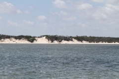
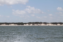
At St. Andrew’s Sound the area opens up however a large shoal is in the middle. The boater must head towards the ocean and then come back in again. In our 44 ft Searay she handles the larger waves of about 3 feet very well. The rollers from the ocean are very normal and are more the nuisance than the wave heights. We made it literally around The Sound where the sand on the shore is very white and a lighthouse stands on the top of a cliff.
I would suggest if you need to stop at this point Jekyl Island is the place to do so. A great anchor spot near the marina is available as well as a calm less busy marina awaits you to take in the history of the island. We pushed on though knowing we’ll be back another time. The tides are with us at this time of the day.
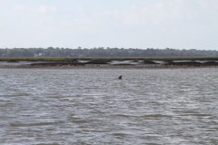
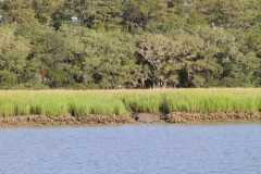
Jekyl Creek past the marina should only be attempted at mid to high tide. Also be conscious of your time and look at when you will meet Mud River farther north where you need the high water. We saw 5 foot depths at times and moved slowly toward St Simons Sound. Jekyl Creek meanders through some marshland and unobstructed views of waterways and seagrass.
Now heading north and passing St Simon’s Sound and St Simon’s Island on the Mackay River the tide has given us several feet of water. The tides fluctuate about 5 feet here. We are able to run fairly quickly watching depths and buoys and open water. We know that Mud River has some of the most shallow portions on the ICW and must be transited at a rising to high tide. We decide to push on through this area to keep the high water.
Mud River is very shallow with depths around 9-10 feet at tide rising. We run this stretch a couple hours before high tide. No problems to report at all. It’s tight and attention is warranted.
Our anchorage for the night is just north of Doboy Sound in Duplin River. It’s a beautiful area. Passing the ferry travel approx. .5 miles to a nice anchorage. A nice deep, protected area with lots of bugs.
We drove 91 miles today in 5.5 hours. A good haul through the swamp, I mean, marsh!


