May 212017
 

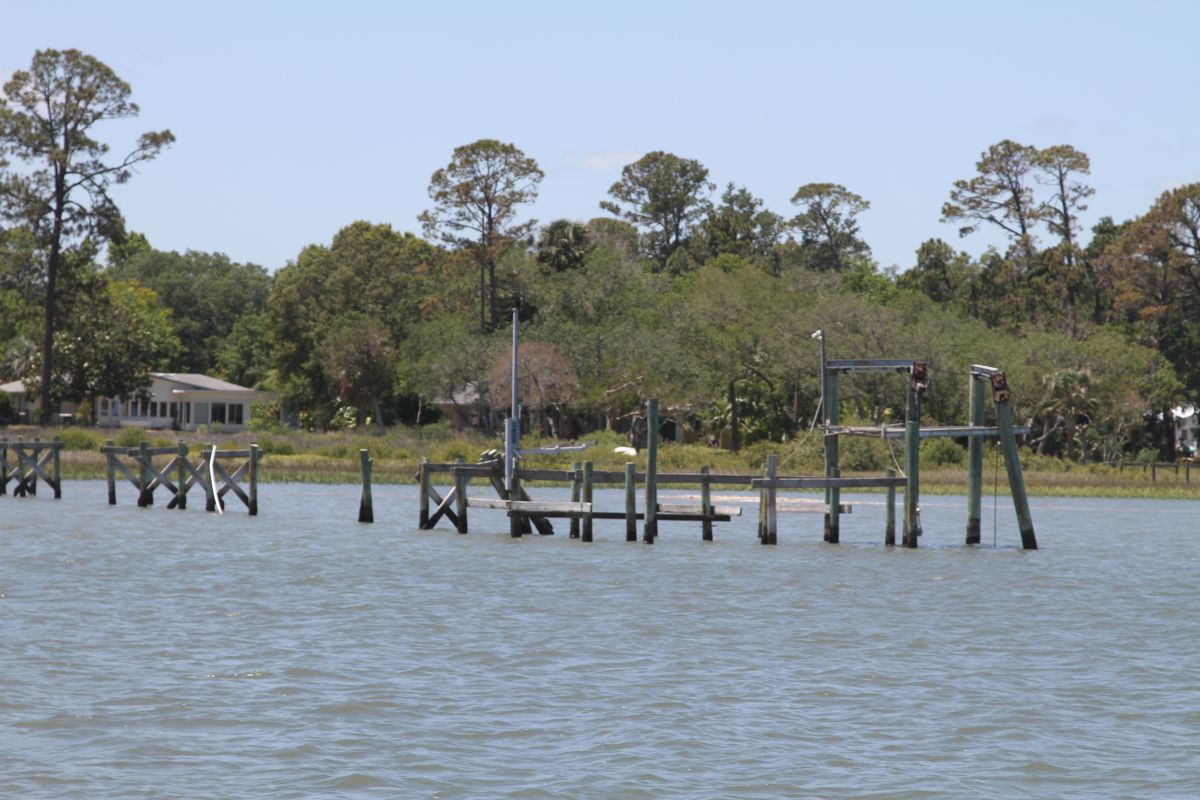
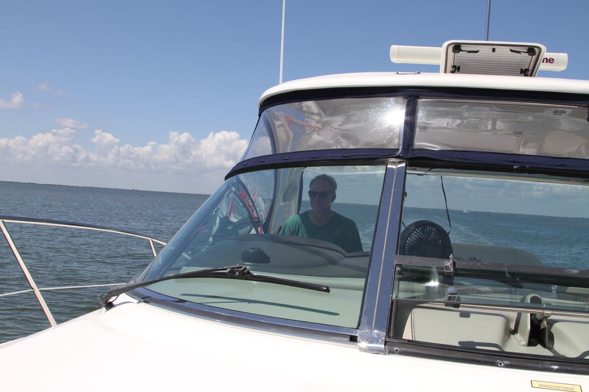
We were up with the sun this morning traveling for the first time on low tide. Our goal is to anchor at an anchorage beside Dewees Island and find that illusive beach day. Leaving the river was an easy out at low tide with the ICW only 5 minutes away. It was interesting to see such a tide swing of 5.5 feet when traveling. Docks and boats are on the hard shore ground waiting for the swing up. It’s a hot, sunny day and our inverter quit. The inverter converts our electric fan to keep Scott cool from the morning east sun while driving north. Drats!

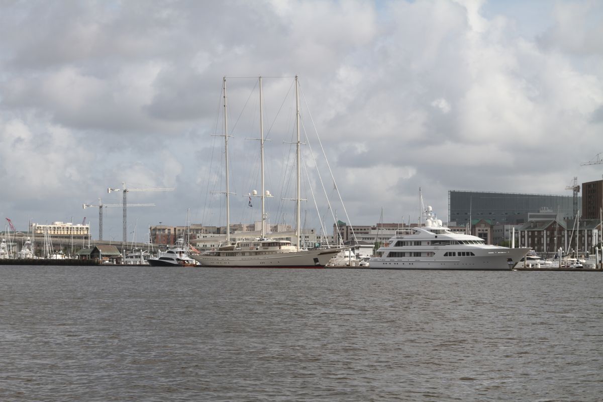
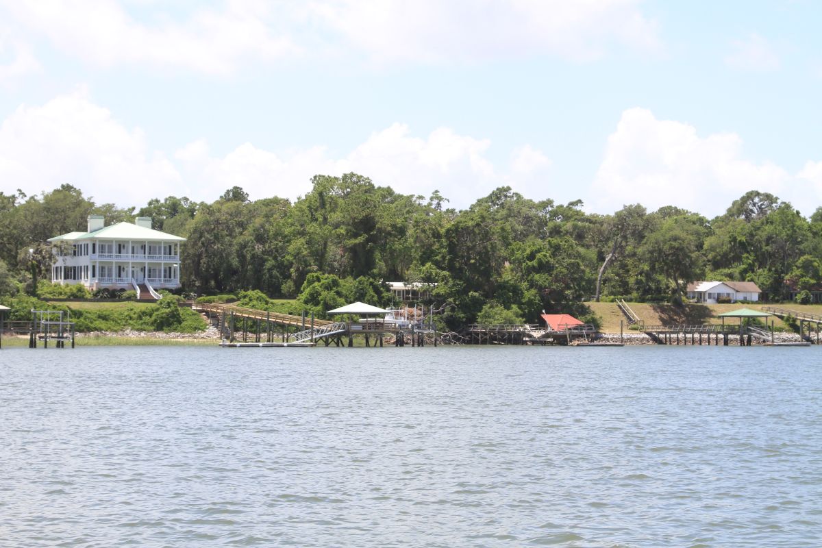
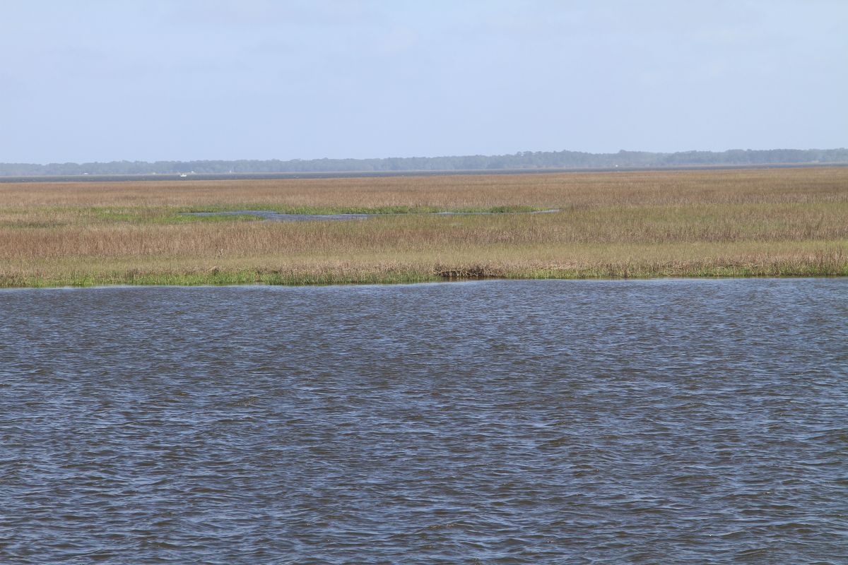
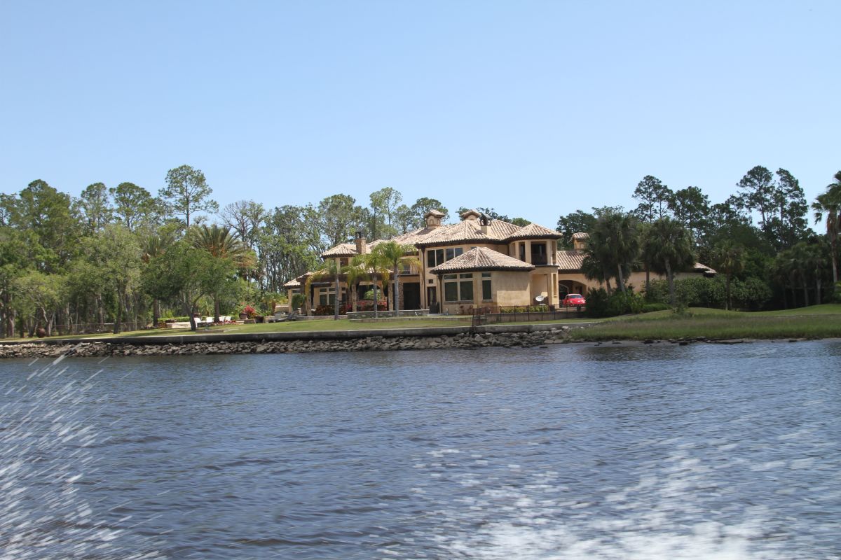
We traveled though some beautiful sights with the vast marshlands now in our rear view mirror. We traveled through Elliot’s Cut which is more like a ditch. The current is strong here and many Sunday boaters are out for the day. It’s a no wake zone anyway and gorgeous homes are here just as we enter Charleston, South Carolina. Charleston is right on the ICW and worth a stop. Not for us as our work schedule is still the priority. Next time round! Charleston has the grand southern homes on the shore with their massive Colonial pillars. They stand majestically amongst other buildings so their massive size is understated.

The UCW channel after Charleston more like a canal with homes on both sides. It is shallow. We were passing through many areas at 6.5 feet at low tide but the majority was 9-10 feet total water height. We were looking at our navigation, depth gauge and our trusty nav alerts to get through. We passed a 50 foot trawler boat that probably had at least an extra foot of draft than us and they made it through. Can’t imagine the conversations going on in that boat tat that time.

We made it to St. Helena’s Sound which is quite small compared to the many open Sounds we have passed through. Our anchorage is directly beside Dewees Island. This island has no cars, a ferry to take locals to and from their homes to several areas. The folks use golf carts to get around the island. We met a nice couple that told us that most people on the island are very eco friendly. There is a staff of 23 that keeps the island going for the residents. Most residents are permanent and not cottagers. This is even a bit too rustic for our taste.

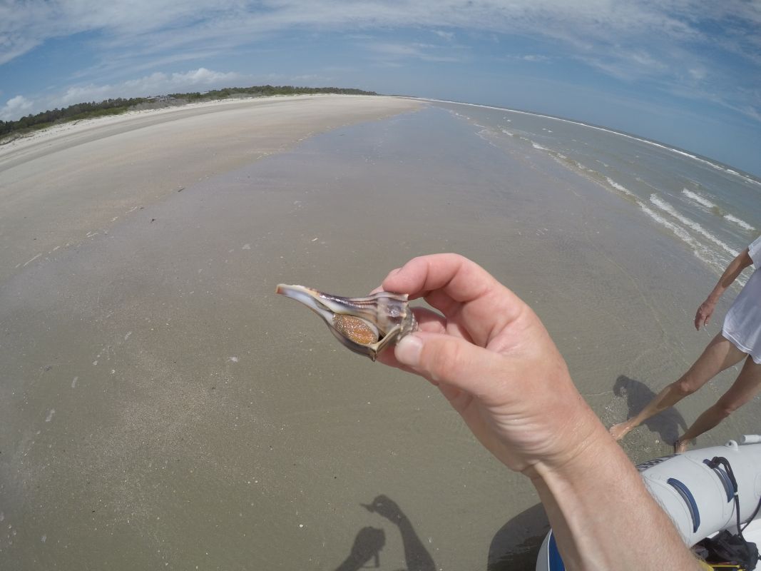
The anchorage is just off the ferry dock and the beach is a 5 minute dingy ride. Today was a low mileage day as we prepped for some time off from driving. The beach on this island is so pristine that we found more intact large shells and conchs on the beach. We found 2 beautiful shells that were very large but upon picking them up we saw they were still occupied so we left them. They had conch in each of them. The beach has so many shoals that we were able to stand in the middle of them way off shore. It is still low tide and just rising. We watch the tide roll in all day and those shoals we stood on disappear.

The anchorage is a great spot and the tide does create some current. The winds are 10 mph out of the SW and the temps are comfortable enough tonight that we may not have to put on the generator for air conditioning. Up until tonight the nights are not falling much below 80F.

At this point we are a bit burnt, showered from the day and finally happy with the exercise we had on the beach. We are ready to go again but know that from this point there is not much opportunity for beach as the ICW starts to turn more inland.


 Posted by at 7:45 PM
May 202017
 

We can’t make these names up! Tooboodoo Creek I’m sure there is a story!

We need a beach day! All work and no play makes for a very boring adventure. Scott started to look at anchor spots and marinas close to the ocean where we could dingy to a beach and enjoy some sun, fun and exercise. We decide on an area near Isle of Palms in South Caroline past Charleston. First we have to there.

We aren’t much into the marina scene so it is tough to decide which anchorage to stay at or which marina we can get our provisions. If you are following us we for advice on great places to stop we sure can tell you all about some great anchorages but when it comes to the marinas or city adventurers that will have to wait until our next time around when we have time to do more stopping.

We left later than usual again at 10:30 from Morningstar Marina to catch the tide of 7 feet when needed. The first thing we noticed was there was much less marshlands, more homes, more boat traffic, and more depth, even at low tide. The sounds are much larger too. The channel meanders through large open spans of water but the boater must follow a winding path through it. Port Royal Sound is very wide with open water and good markers. Be sure to check your winds.

Two cautionary spans of water.

One being the Ashepoo Coosaw cut after Beaufort heading north. Do not attempt this river at anything but mid to high tide. The charts are off in depth as well as Active Captain, Navionics, Waterway Guide. This river we saw depths for large stretches at 8 -9 feet at high tide.

The second is Dawho River. We saw 8-10 feet at almost high tide with a 5.5 tide swing. Do not attempt on anything but a mid to high tide. The north entrance we saw 10 ft depths at high tide.

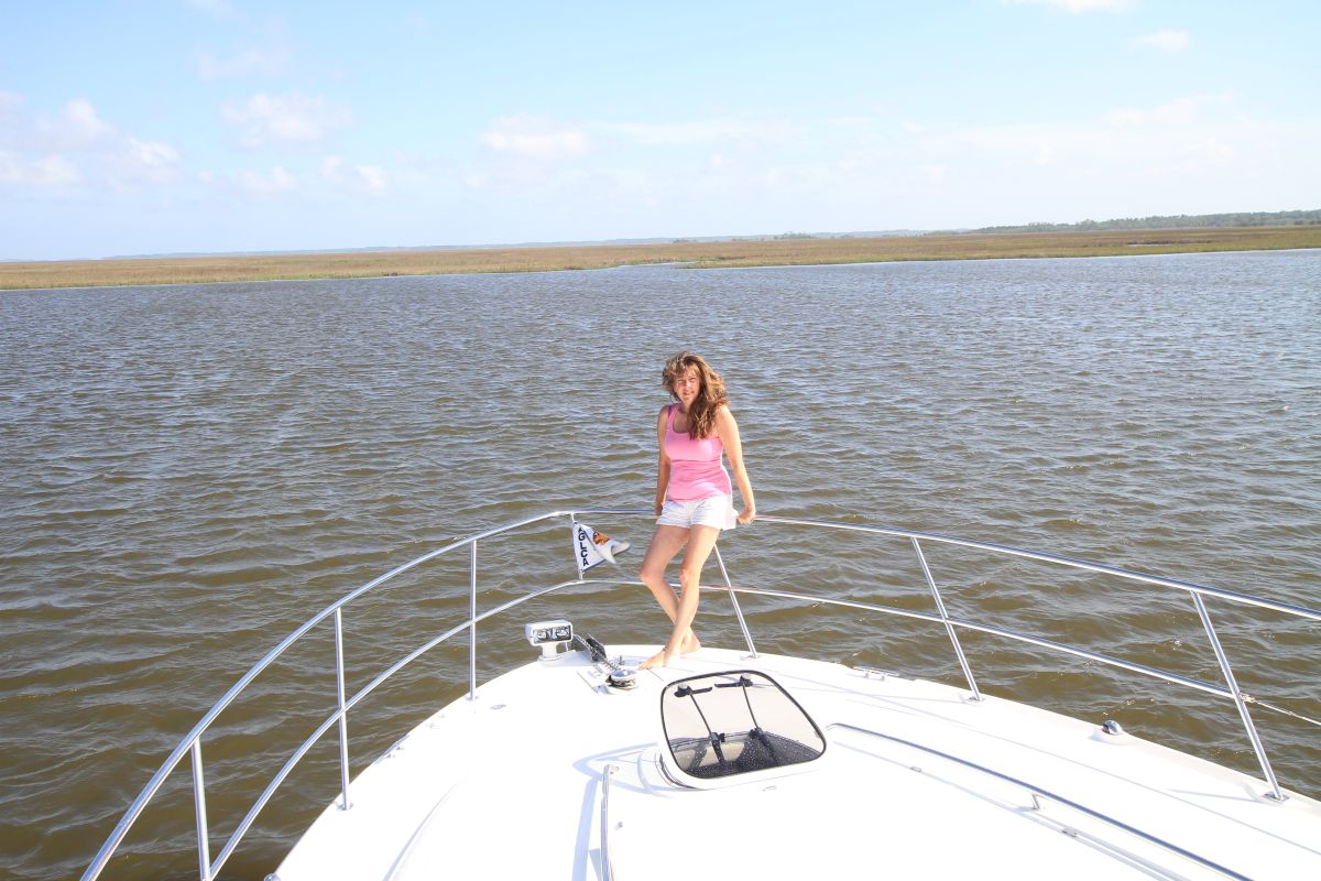
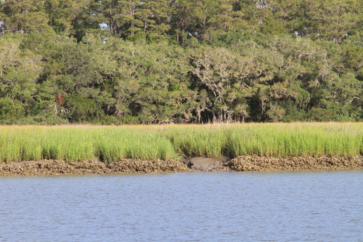
We have anchored in Toogoodoo Creek prior to Charleston, South Carolina. There is really nothing to do in this anchorage so we played with the camera a bit. Tomorrow we head to Isle of Palms to an anchor spot in search of our illusive beach. The weather is supposed to change by the beginning of the week so we will have to plan accordingly. For now we know a quick thunderstorm for Sunday is a possibility but we’ll be safe and sound in an anchorage by then. The rest of the week is shaping up for more rain but low winds.

Scott checked the sea strainers in the engine and he found several minnows and a live crayfish. We have seen dolphins here, lots of birds and today I was lucky enough to see a very large stingray as we passed through the open waters of one of the sounds. Hurricane Matthew damage is still visible.

 Posted by at 8:49 PM
May 192017
 

Today we know we are going to Savannah, Georgia. Actually a small town outside of Savannah called Thunderbolt. We chose there because the docks in Savannah are either full for the weekend or the damage to the docks from Hurricane Matthew have closed them until the fall. Call ahead and make reservations with the Hyatt, the Westin or one other. All the city docks are gone and closed.

We decided to leave our anchorage at tide rising which meant us waiting until 11:00. We don’t usually run that late in the day but we are approaching 7 foot tides. Running yesterday at low tide was unnerving in the marshlands so we thought better be safe today. It paid off as we ran through the various rivers north.

The first sound we had to pass through was St. Catherine’s Sound. We passed through with no problems. We plan our driving path each night before we go at this point. We don’t know what to expect on the way each day. There are low water areas, high tide changes and slow no wake zones. So we figure out 2-3 spots to stop for each next day.

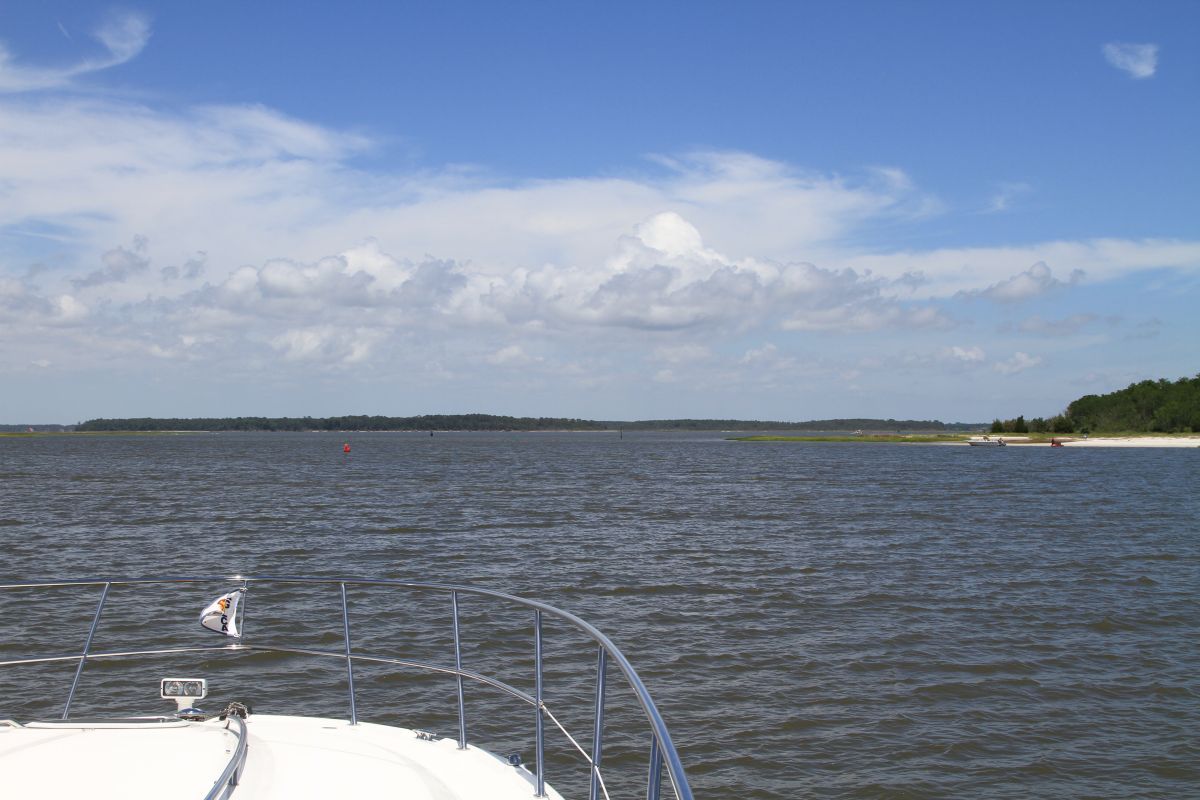
As we travel to the next big open sound of Sapelo which was another easy pass. It is nice not having too much boating drama. We are hoping to get to Hell Gate on Obbawasa Sound at high tide. That is our main goal today. The winds were calm all day so the open waters of the sounds made crossing quite easy. A big factor is being aware of where you must travel. The buoys are easily spotted but it would be easy to miss one and go aground.

The drama for the day was when I was in the galley making lunch when all of a sudden Scott stops from a good clip instantly and the boat lurches to a stop. I go upstairs to find that a pod of about 15 dolphins with their young are in the middle of the channel and Scott was trying to avoid them by going slightly off channel. The depth changed so drastically that he pulled back on the throttle so that the dolphins would have a better opportunity to move with their young as we idled by.

We finally travel to Obbawasa Sound to find Hell Gate. As we travel across the sound we pass sailboat after sailboat who also waited for the high tide of 7 feet to pass through. Follow the buoys and stay in the channel and all is good. It’s narrow but easily done in the high tide. We read about 9-12 feet total depth. Do not attempt this area without mid to high tide.

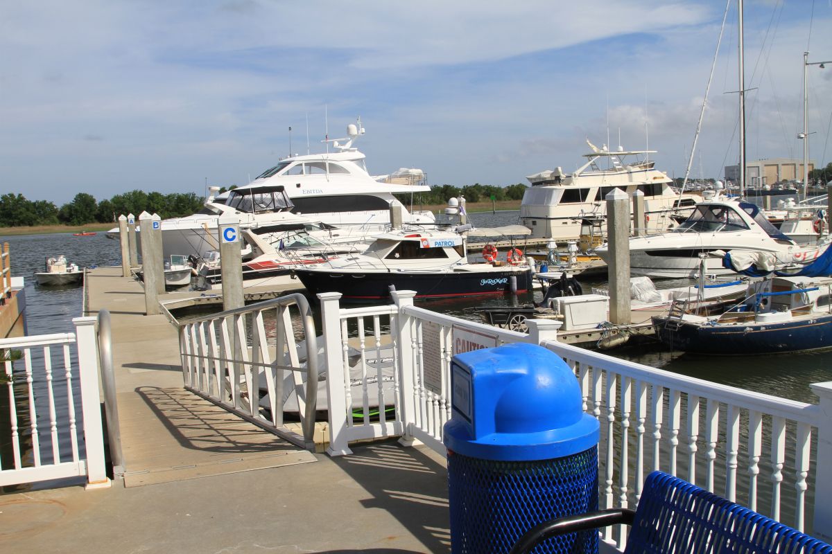
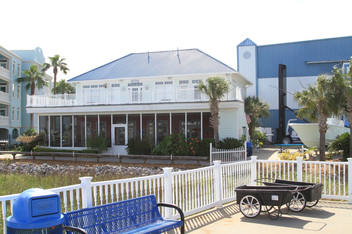
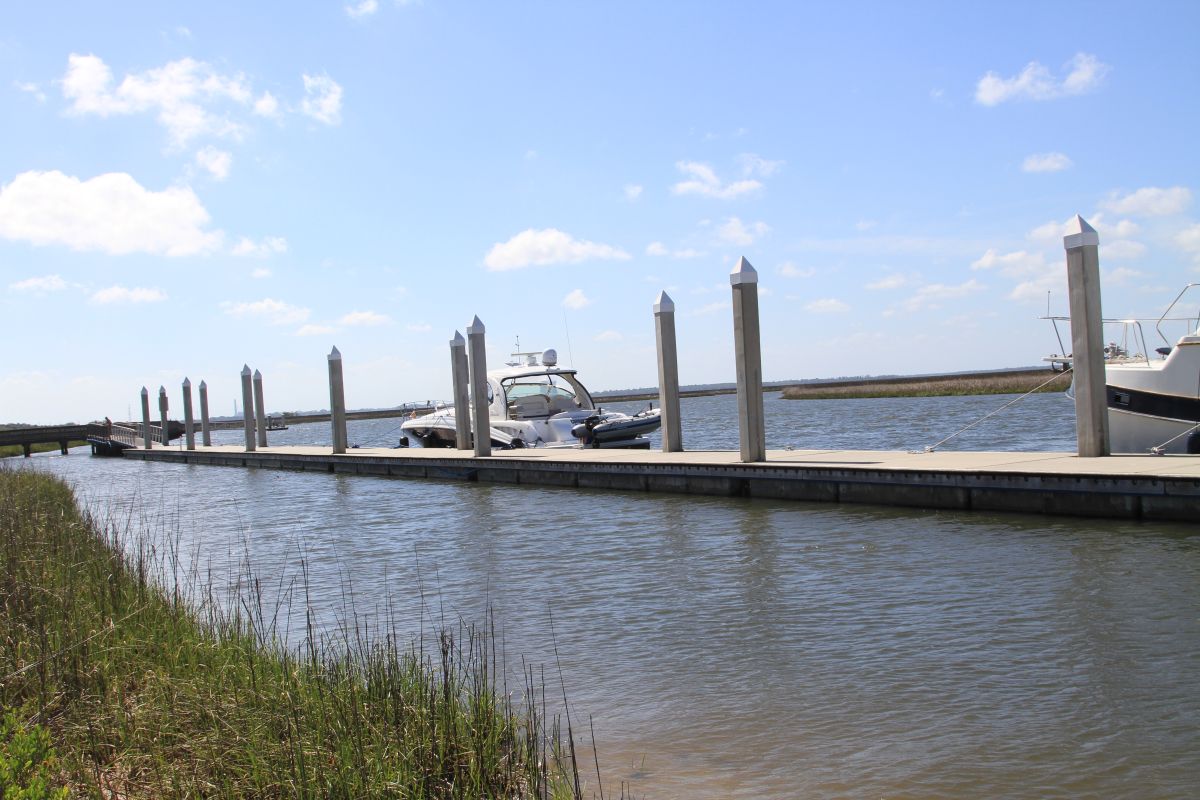
We settle into Morningstar Marina in Thunderbolt. We decide to walk to the grocery store about 1 mile away and grab provisions then take Uber back. Uber cost $5.00 one way. The marina is very busy being the weekend. We are put on the end of the fuel dock with power and water. The services are laundry, shower, restrooms. Wifi is available close to the office but not at a slip. No pool as advertised so we are a bit disappointed. The laundry is free and there is 10 cent off per gallon and $25.00 off our overnight fee with BoatUS.

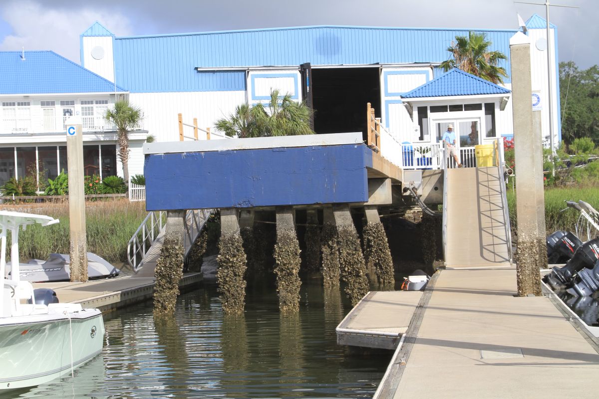
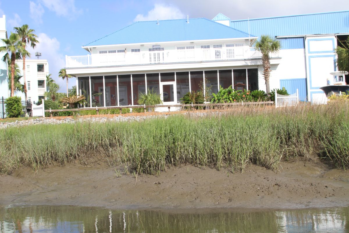
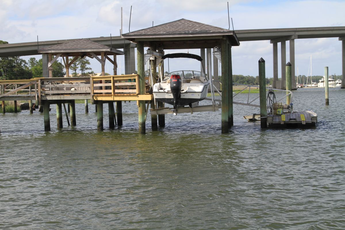
Scott took some pictures of high and low tide while at the marina.  There is a 7 feet swing in tide here so the visual is very impressive.


HIGH TIDE


LOW TIDE


HIGH TIDE


LOW TIDE


HIGH TIDE


LOW TIDE

 Posted by at 9:00 AM
May 182017
 

Jacksonville Free dock was an easy turn around and out this morning. We had planned out 3 different anchor spots heading north through Georgia mainly due to the fact that we didn’t know the terrain and how fast we would be able to get along. We did leave Jacksonville as the tide was almost at its lowest. The free dock is on Sister’s Creek. Depths were around 6 feet at low tide and attention to gauges was very important. We did pass several large trawlers with more draft than us going south so they must have had a nerve racking time transiting.

I apologize in advance for this notation in our blog. It will be mostly about traversing this area for the boaters to read. The area is very different than anything we have traveled thus far.

We still see the effects of Hurricane Matthew along the route as this area from St. Augustine to Savannah are the hardest hit by the storm last November.

Heading into the marshlands of north Florida we did see very shallow depths with only about 5 feet under our belly at times. Heading towards Fernandino Beach area on the Amelia River was not a terrible run with a 3.5 foot draft however there were times when we did see less than 7 feet depths on the depth gauge.
Here we left Florida behind and said hello to Georgia.

We passed by Cumberland Inlet and the Island which would have been a great stop to see the history on the island. There are still wild horses that live on the island from when the Spanish settlers released them over 200 years ago. No appearances by the horses for us though. Also a Naval Nuclear Submarine base is here. We didn’t ee any Coast Guard Boats or security so the subs must be deployed. The dock for the sub is massive. There is a picture below and to show reference the building on the end is a storey structure. We were able to open up the throttle a bit through this area and added some distance to the day.After passing St. Mary’s Inlet (an inlet is access to the ocean) area there was significant depth changes. By this time the tide was coming in so the waters were rising. Paying attention to the depth gauge is always warranted but it is more often in these waters. The marshlands open up to vast areas.

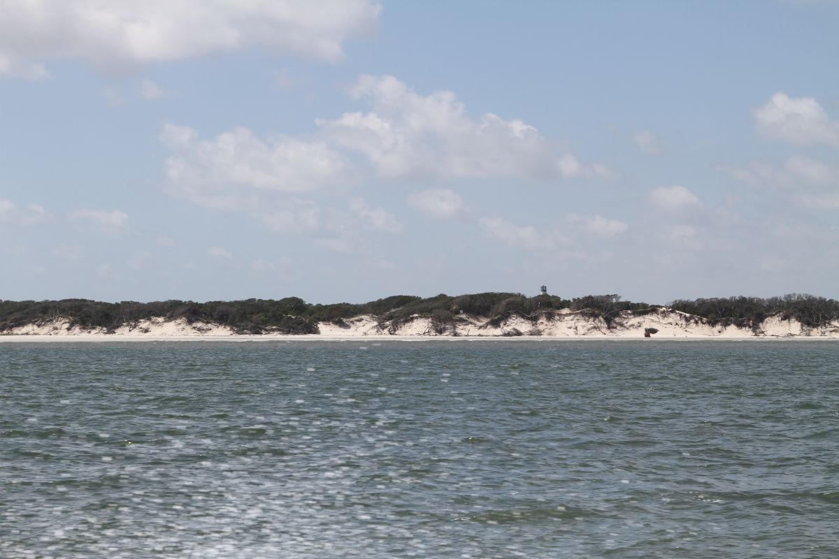
At St. Andrew’s Sound the area opens up however a large shoal is in the middle. The boater must head towards the ocean and then come back in again. In our 44 ft Searay she handles the larger waves of about 3 feet very well. The rollers from the ocean are very normal and are more the nuisance than the wave heights. We made it literally around The Sound where the sand on the shore is very white and a lighthouse stands on the top of a cliff.

I would suggest if you need to stop at this point Jekyl Island is the place to do so. A great anchor spot near the marina is available as well as a calm less busy marina awaits you to take in the history of the island. We pushed on though knowing we’ll be back another time. The tides are with us at this time of the day.

Jekyl Creek past the marina should only be attempted at mid to high tide. Also be conscious of your time and look at when you will meet Mud River farther north where you need the high water. We saw 5 foot depths at times and moved slowly toward St Simons Sound. Jekyl Creek meanders through some marshland and unobstructed views of waterways and seagrass.

Now heading north and passing St Simon’s Sound and St Simon’s Island on the Mackay River the tide has given us several feet of water. The tides fluctuate about 5 feet here. We are able to run fairly quickly watching depths and buoys and open water. We know that Mud River has some of the most shallow portions on the ICW and must be transited at a rising to high tide. We decide to push on through this area to keep the high water.

Mud River is very shallow with depths around 9-10 feet at tide rising. We run this stretch a couple hours before high tide. No problems to report at all. It’s tight and attention is warranted.
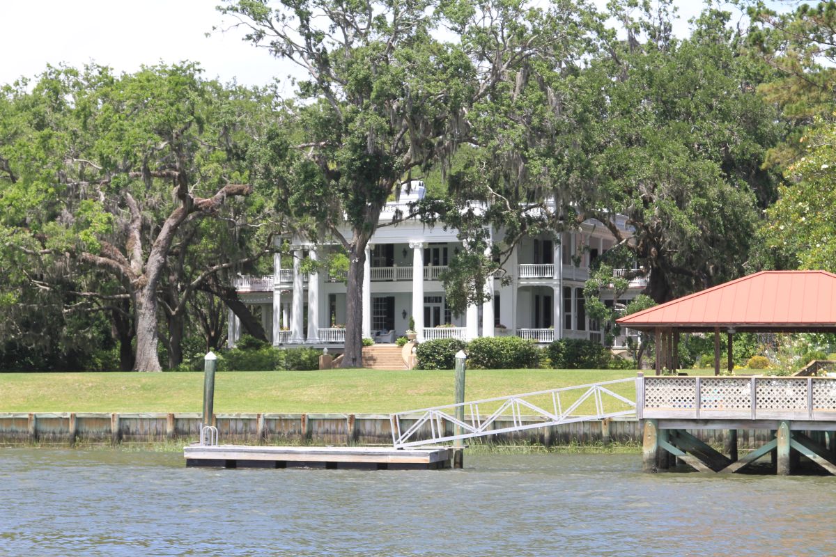
Our anchorage for the night is just north of Doboy Sound in Duplin River. It’s a beautiful area. Passing the ferry travel approx. .5 miles to a nice anchorage. A nice deep, protected area with lots of bugs.

We drove 91 miles today in 5.5 hours. A good haul through the swamp, I mean, marsh!

 Posted by at 9:23 AM
May 172017
 

We were lucky enough to have an America’s Great Loop Cruiser’s Association (AGLCA) fellow member in the next slip. We met Jacquelyn on the vessel “Elske” and chatted about moving north. They are from Fort Myers here in Florida and heading to Chesapeake Bay for their end destination this year. Next summer the Trent Severn and the north country are on their destination list. We exchanged boat cards (business cards with our names, boat and contact info). Hopefully we will meet up again sometime on our travels. Leaving the St. Augustine Marina we decided to fuel up with diesel not knowing what is available north of here due to the hurricane in November. The marina is a difficult one to maneuver in and out of due to wind and close quarters.

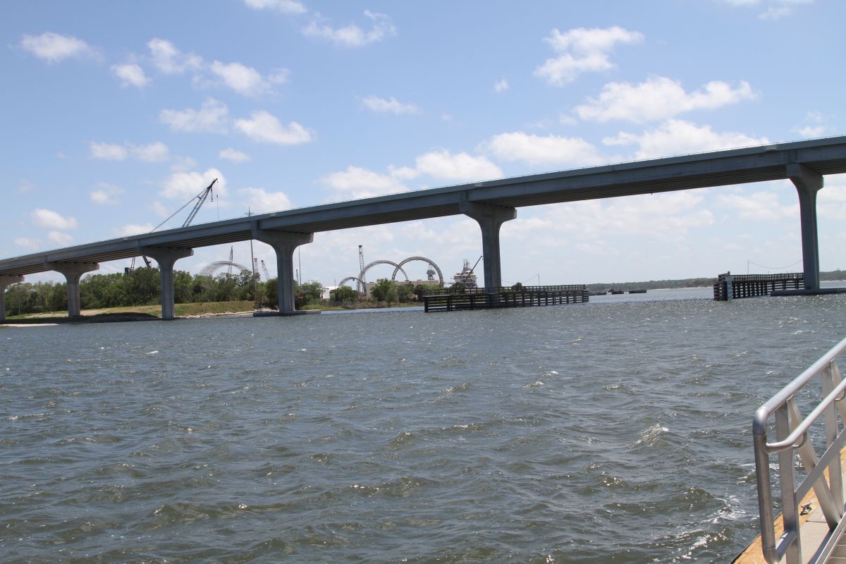
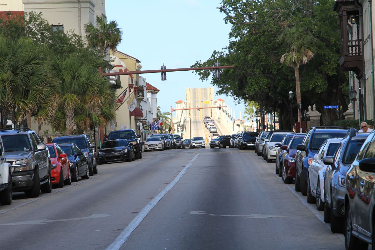
We set out on a hot breezy day. We fit nicely under the Bridge of Lions in St.Augustine. There was some slower driving areas along our route today but they had beautiful homes and boathouses to see. Also, we have noticed that there are fewer dolphins and pelicans as we head north. The buoys are in place now since the dredging has been done. In some places there are more buoys and deeper water So that’s a bonus.

We have set our sights on Jacksonville, FL as a stopover. They have a free dock available for 72 hours. Prior to Jacksonville we approach St. John’s Inlet where we notice currents have picked up. Not a lot for us as we have traveled the Niagara River but for those not used to it it might be unnerving. Upon approaching St. John’s inlet to the ocean we see some large homes and a few more boats. A Coast Guard boat is patrolling as well. The winds have started to pick up by this point.

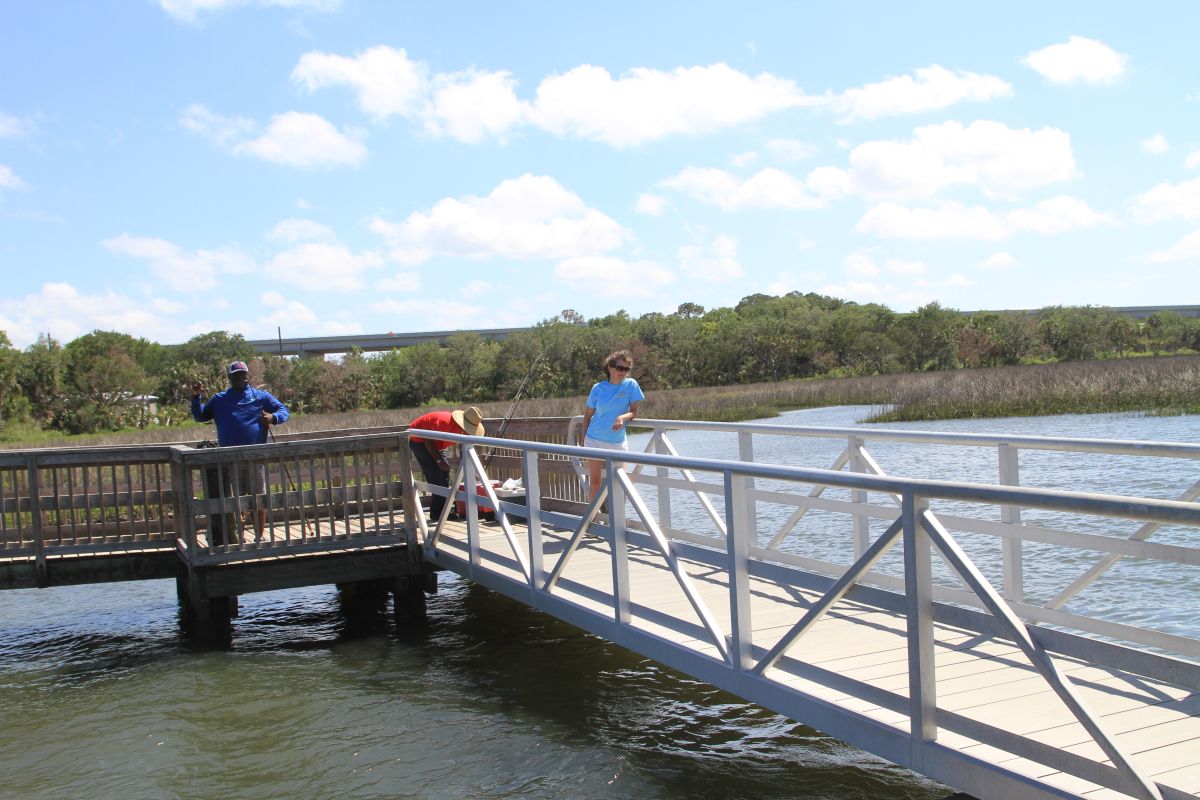
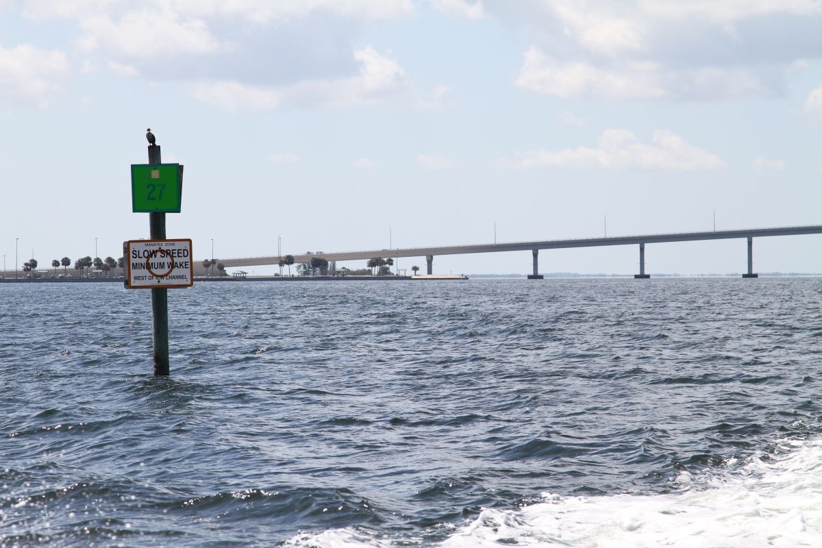
It was a non eventful boating day and we found the free dock on the ICW. For those that wish to stop here it is NOT the dock right after the causeway with the boat ramp. This dock only has about a 7.5 ft high tide clearance. So at low tide you’ll only have about 3.5 feet under you. If you go further north along the ICW about 2 minutes there is a small inlet where a substantial dock awaits you. The depth of the water is approx. 17 ft at high tide. The tide fluctuates normally around 3 feet here so there is lots of water under your belly. Keep the slow speed manatee zone to your starboard on your way in. We went in about 6 pillars and had lots of depth. The area around is great for dogs but that is about it. This used to be a marina that the city purchased way back and now offers restrooms, walking paths that lead to no where and a great dock. We are thankful for it in these 20 mph easterlies.

We don’t have much to do after wandering around so we work on the next few nights that will be someplace around Jekyl Island, in Georgia.

 Posted by at 7:50 PM
May 162017
 

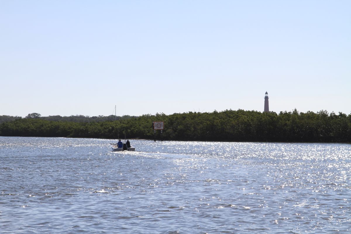
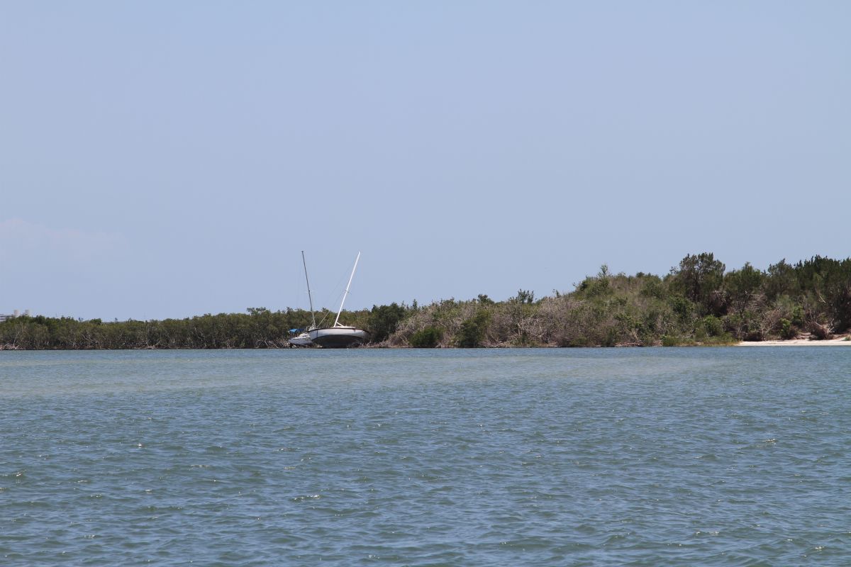
I was up at sunrise and to my delight a pod of dolphins was enjoying breakfast. They came within 10 feet of the boat. The sunrise was spectacular where only being on the east coast could provide. We pulled anchor around 8:30 and headed toward St Augustine. Today would be a long haul of about 68 miles. It took us approximately 6 hours to get settled. We passed through significantly more hurricane damaged areas with boats on shore, docks completely missing and palm trees with no palms. Buoys were not as the charts said so following the buoys was the only thing we could do to keep in the channel. We did see Ponce de Leon inlet to the ocean in the distance marked by its tall lighthouse.

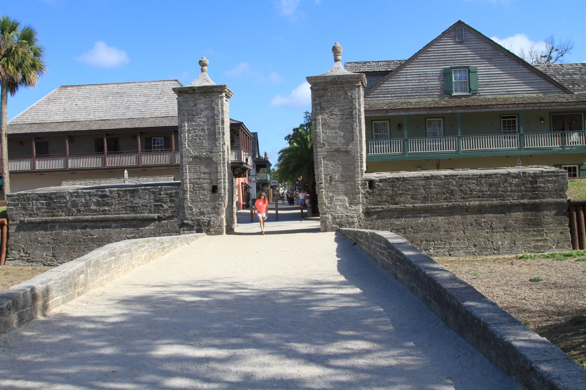
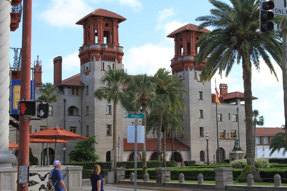
We were hoping to stay on the anchor tonight but with the shoaling and the hurricane damage we decided to head to the City marina. The marina is directly across from the quaint downtown. A spanish architecture and early settlement of the British is here. There is so much history in this little town. We were able to see the first school house, the Fountain of Youth, buildings from the 1600 and earlier. Much native settlement is here as well. The Bridge of Lions which is the main causeway bridge is directly beside the marina.

The Municipal Marina has everything a boater needs. Close proximity to the town, restrooms, laundry, lounge, fuel, showers and 24 hour security.

St. Augustine is worth a couple night’s stay even if you are passing through.

 Posted by at 9:37 PM
May 152017
 

After a late start of 10 AM because of a go pro malfunction we started out north toward our anchorage for the night. We were not sure exactly what to expect with the notice of Hurricane Matthew damage from the storm last October. We again were privileged to see dolphins swimming. The damage from Matthew was apparent as we saw boats on shore, masts sticking out of the water and palm trees leaning. Nothing to substantial at this point. As we entered the Haulage Canal which connects the brackish water of the estuary north of Cape Canaveral the drawbridge was being worked on and only one side was open. Much to our delight we were able to see a family of manatees as well. We thought they were logs in the water as you see by the pick. They were behind an old abandoned breakwall in an open area near the boat ramp.

 Posted by at 9:07 PM
May 142017
 

We haven”t posted since we first arrived mainly because it has been all maintenance and provisioning.  Scott has spent the last 3 days in the engine compartment changing the oil on the gen, doing a valve lash, disinfecting the water supply lines, changing out some seals that needed updating, and so much more.  He also spent some time upgrading the software for the chart plotter.  With groceries, laundry, waxing the boat and cleaning out of the way we are all set for a Monday morning start.  

I cannot say enough about this marina.  The staff is so accommodating, the slip location is awesome, wifi is fantastic, location to the little village with its artisan shops, restaurants and boutiques.  Provisioning is a short car ride away and an Enterprise Car Rental who will pick you up about 2 miles away as well.  We were lucky enough to be here for a dock party with the folks that are either living onboard, passing through or just an overnight.  

Tonight we will plan our journey to the next spot which will likely be on the hook someplace near St. Augustine.  The weather over the next few days is looking good with fair winds and blue skies.  

It’s Mother’s Day today too.  Happy Mom’s day to all the lovely ladies!

 Posted by at 12:47 PM