Today we know we are going to Savannah, Georgia. Actually a small town outside of Savannah called Thunderbolt. We chose there because the docks in Savannah are either full for the weekend or the damage to the docks from Hurricane Matthew have closed them until the fall. Call ahead and make reservations with the Hyatt, the Westin or one other. All the city docks are gone and closed.
We decided to leave our anchorage at tide rising which meant us waiting until 11:00. We don’t usually run that late in the day but we are approaching 7 foot tides. Running yesterday at low tide was unnerving in the marshlands so we thought better be safe today. It paid off as we ran through the various rivers north.
The first sound we had to pass through was St. Catherine’s Sound. We passed through with no problems. We plan our driving path each night before we go at this point. We don’t know what to expect on the way each day. There are low water areas, high tide changes and slow no wake zones. So we figure out 2-3 spots to stop for each next day.
As we travel to the next big open sound of Sapelo which was another easy pass. It is nice not having too much boating drama. We are hoping to get to Hell Gate on Obbawasa Sound at high tide. That is our main goal today. The winds were calm all day so the open waters of the sounds made crossing quite easy. A big factor is being aware of where you must travel. The buoys are easily spotted but it would be easy to miss one and go aground.
The drama for the day was when I was in the galley making lunch when all of a sudden Scott stops from a good clip instantly and the boat lurches to a stop. I go upstairs to find that a pod of about 15 dolphins with their young are in the middle of the channel and Scott was trying to avoid them by going slightly off channel. The depth changed so drastically that he pulled back on the throttle so that the dolphins would have a better opportunity to move with their young as we idled by.
We finally travel to Obbawasa Sound to find Hell Gate. As we travel across the sound we pass sailboat after sailboat who also waited for the high tide of 7 feet to pass through. Follow the buoys and stay in the channel and all is good. It’s narrow but easily done in the high tide. We read about 9-12 feet total depth. Do not attempt this area without mid to high tide.
We settle into Morningstar Marina in Thunderbolt. We decide to walk to the grocery store about 1 mile away and grab provisions then take Uber back. Uber cost $5.00 one way. The marina is very busy being the weekend. We are put on the end of the fuel dock with power and water. The services are laundry, shower, restrooms. Wifi is available close to the office but not at a slip. No pool as advertised so we are a bit disappointed. The laundry is free and there is 10 cent off per gallon and $25.00 off our overnight fee with BoatUS.
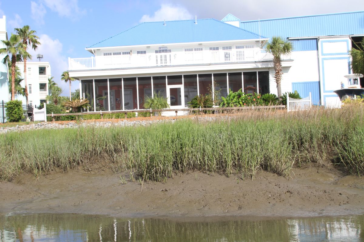
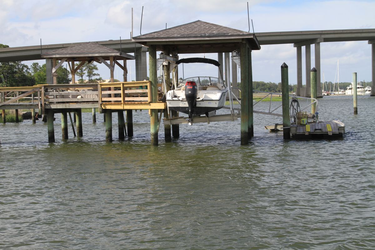
Scott took some pictures of high and low tide while at the marina. There is a 7 feet swing in tide here so the visual is very impressive.


HIGH TIDE
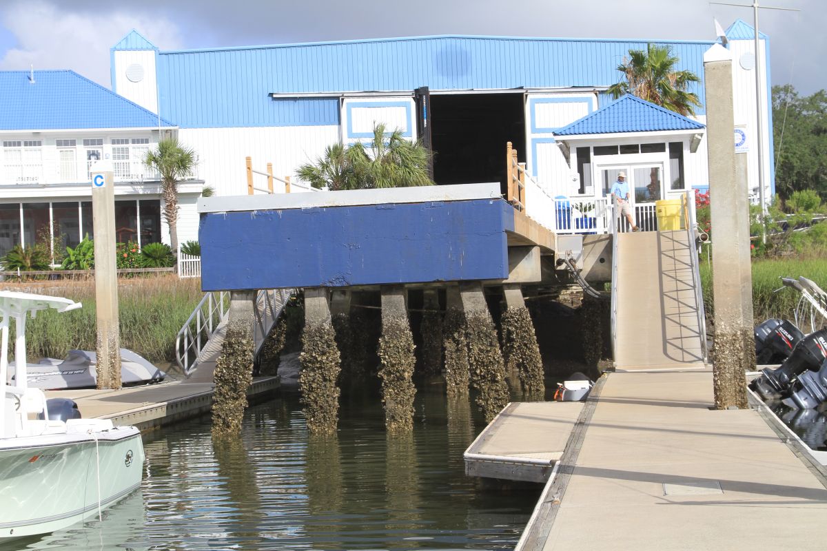
LOW TIDE

HIGH TIDE
LOW TIDE
HIGH TIDE

LOW TIDE


